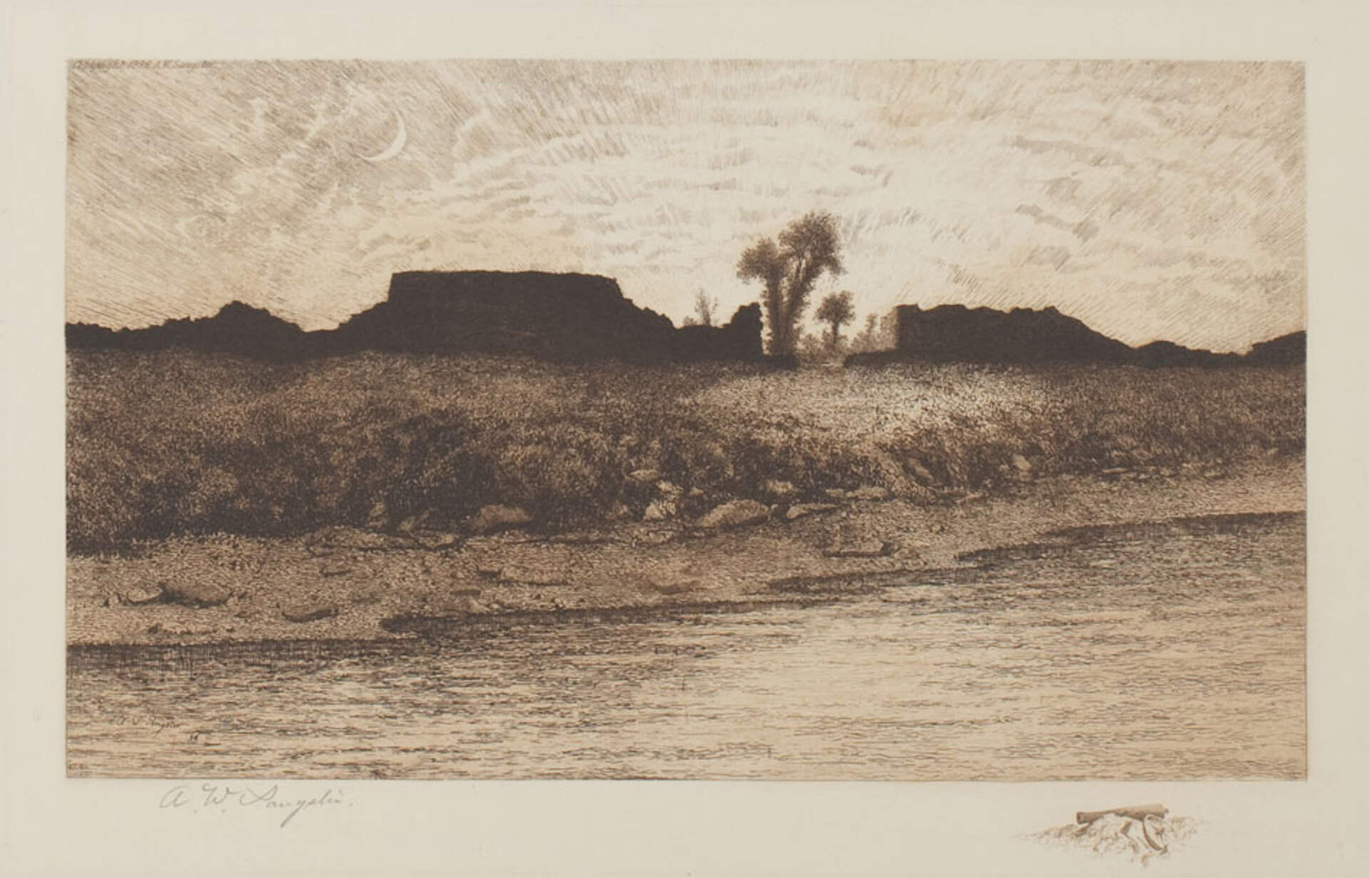
Amos W. Sangster (1833-1904)Old Fort Erie – Sunset
1886-88
Intaglio on paper
19 5/8 x 14 3/4 inches
Gift of Dr. J. Warren Perry, 1992
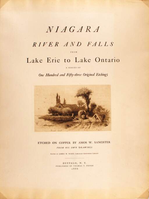
This print and two others in this exhibition are part of a series called Niagara River from Lake Erie to Lake Ontario that records the waterway as it was in the late 19th century. This scene is from the west as the sun sets behind the fortification walls.
The actual fort, established in 1764, represented a key British strategic base. Located at the head of the Niagara River, it served as a crucial depot and logistical center for troops and ships plying Lake Erie toward the western theatre of the war. Across the river, the American villages of Black Rock and Buffalo served similar purposes as staging points in American efforts to take Fort Erie and gain control of the Niagara Peninsula.
If either side could secure the other’s forts at either end of the Niagara River, both Lakes Erie and Ontario would have been opened to British or American domination, and the war might have reached a decisive conclusion. As with the turbulent nature of the river itself, however, such control remained elusive.


